Today, I started with the water high, about 90 minutes of flood remaining. The mud banks that many of the shore birds feed on are submerged. But, this puts me four or five feet higher in the landscape. I can see across the broad short grass wetland, an expansive view that is not there at low tides, and not all of the marsh birds feed at the river bank. After I leave that one willet behind, I spot the head of a whimbrel with its unmistakable long curved bill. There's another, and two more, and another. They're back in the grasses feeding, poking their bills into the mud. It's a favorite bird, one can't help liking it just because of the marvelous evolution of that improbable bill.
 |
| Whimbrel |
But, these observations are just passing ones. I timed my start so that I could access the upper reaches of the river and I have a bit over three miles to go to get there.
At lower tides one can paddle upriver about three miles, maybe three and a half at a mid tide. This will get a canoe to the edge of the forest where the river narrows. I've been there once before. This time, the river has a few more feet of water in it. It is calm and deep enough so that my paddle doesn't touch bottom. I turned around on that previous trip just below a thirty inch diameter tree trunk that blocked the river. It is nowhere to be seen this time.
The river narrows more and the bends become very sharp. I thread my way through partially downed trees and guess at which channel to take around several small and temporary islands. I don't have to get out of the canoe until I come to a bridge (the 6th bridge up from the ocean). I chat with a fisherman there. He lives nearby and is surprised to see me...doesn't think I can get much further. He's right. The river bend narrows more and climbs, the water ahead just a few inches deep and not going to get any deeper without an even higher tide than the one I rode in on.
 |
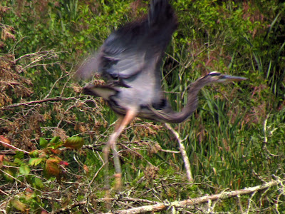
| Great Blue Heron |
On the way back, I come across a flock of 82 Canada geese that weren't there when I came upriver. I try to make a shortcut from the river into Bailey Creek through and old drainage channel, but the channel no longer runs the distance.
 |
| Touch-me-not (at the turn-around point) |


No comments:
Post a Comment