Tuesday, September 29, 2020

Long Cuts and Sneaks


I'm not more than 50 yards from the put in when I have my first critter sighting.  A hundred yards up the East River a Harrier flies low, crossing the river and then crossing the entire lower marsh at an altitude of no more than 4 ft.  This is how Harriers hunt - terrain masking.  It ignores a flock of a dozen Great Egrets and I lose track of it.  But then, a flock of smaller shore birds pops up way over by the first bend in the Neck River and I sight the Harrier again.  It meanders a couple times and then follows the Neck River upstream and I lose it again.  When I turn that first bend in the Neck River, I spot it again.  It is all the way back at the East River, still flying low.

I spot five Osprey along the Neck.  Almost all of the Osprey are out of the area at this time as after nesting the count must be somewhere close to thirty or so.  I spot one more at the Big Bends.

The tide is crested and the current almost nonexistent.  In fact, the water is a good 3 or 4 inches higher than predicted due to atmospherics.  We have a minor storm coming in this evening and little surges are pretty obvious in low marshes.

Yellow Legs

I pass through the Sneak with ease as it is full up and full width so the tight turns in the channel are easy to get the canoe around.  The spartina is turning color of course, but if one looks close, it is the glasswort that steals the show.  It has turned to a brilliant rosy-pink-red.

I spot a few flocks of Yellow Legs in the marsh, they are becoming common again having migrated from a bit north of here.  The Willets are all gone.

Glasswort

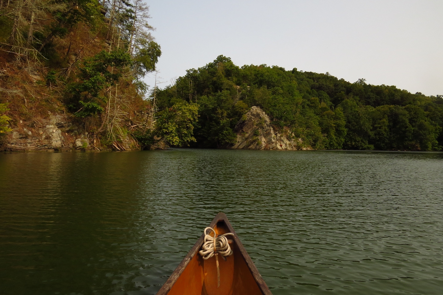
I decide to explore a bit of the side channels in the upper marsh rather than push on up to the forest.  On the return I take the Long Cut, a narrow passage that takes one from the East River to high up in Bailey Creek.  I've never seen anyone else back here.  It is a reliable place to spot migrating ducks and it doesn't fail today.  I flush a half dozen Mallards and fifteen to twenty of the shyer Black Ducks.

The Long Cut

Back in Bailey Creek I pick up a quick ebb current and have an easy paddle out.


Monday, September 28, 2020

River of the Damned

 I set downstream into a 10 mph headwind.  This is the big river again, in fact, I'm just a few miles upstream of my last outing and this is another section of the river that I've not paddled before.  I'm heading down to the top of Gildersleeve Island, which was my high point on the last trip.

I follow close the right shore, and to hide as best I can from the wind I stay under the tree limbs when I can.  There is a "dike" of milfoil parallel to the bank where the depth is just right for it to grow.  It blocks the chop and creates a narrow path of smooth water.  

This section of river is a mix of flood plain and forested valley sides.  But, as with the downstream section that I last paddled there are few houses intruding on the shoreline.  In the first mile are a few dilapidated industrial wharves.  They are remains from when barges were used on the river, which wasn't too long ago.

The other oddity in this reach of the river is that every half hour I come across a wrecked boat.  The first is an upside down 17 foot skiff that looks like it has been here since spring.  Next is a sailboat that probably blew loose from its moorings as the rigging, broken spar and mast, and outboard motor are still present.  A tree has fallen on the aft section resulting in the hull being crushed and broken in two.  The third is across the river and on my return I find it to be an upside down 20 ft. inboard-outboard speedboat.  It is the newest of the wrecks by a long shot.

Just short of reaching Gildersleeve Island I flush an immature Bald Eagle from the trees overhead.  I spot a mature Eagle in a dead snag on the island as I cross.  Another mature Eagle flies in as I head back upriver.

Bald Eagle #4

I follow the left bank back up.  I pass the upside down speedboat, spot another mature Bald Eagle, spot the nest nearby, then another Eagle, and then another.  Six for the day.


Friday, September 25, 2020

In the Middletown Reach

The two bridges that cross the river are the most distinctive features of the small city as seen from the river.  The road bridge is almost beautiful, a pair of grand riveted steel arches with a suspended deck.  I say almost because the arches on both ends are truncated as if the project ran out of money.  Instead of gracefully ending or blending out to the surface, the arches are rudely chopped off and they meet an ordinary raised road bridge section. 


The railroad bridge is somewhat more special.  It's a swing bridge and until today I have never seen it move.  It's over a hundred years old and looks like it has never seen a drop of paint.  Normally left open, today it is slowly swinging into position.  The bridge master walks the length of the bridge and clearly inspects the the end of the swing section to see that the rails are aligned.  So, it lives...

I'm heading up river.  Previously I've circled the first island as it lies right at the mouth of the Mattebesset, which I regularly paddle.  Looking at maps I did not expect much of this section of the river.  But, after a half hour of upriver paddling it becomes quite nice.  The river is 200 yards wide with a slow current.  The trees on the banks telegraph a flood plain.  Low flood plain trees have a certain look to them.  They're tall enough and leafy enough, but they're always a bit gangly, never getting thick trunks.  And, there's always more dead standing trees.  I'm sure it has to do with roots that are water soaked for long periods of time and a resulting lack of nutrients. The land is too low in most places for houses and the roads are back far enough that there's no traffic noise. 

Once that I'm away from the little city, I start spotting birds - a few Great Blue Herons, a family of Mute Swans, some Ducks and Canada Geese.  Then, two mature Bald Eagles.  

An hour and a half out I come to a long island.  There's an occupied Bald Eagle nest on the west channel.  I round the island and head back looking for possible launch sites so that I can start higher and cut the first mile and half off.  This section of the river is well worth repeating.

Thursday, September 17, 2020

From the House to the Big River

M and I did the 36 rod portage and set out into the sound.  I haven't done this trip in a couple of years and it was M's first time.  The day was cloudy and pleasant with a light SW wind. The trip was one way along the shore and then turning up into the Housatonic for a couple miles and I timed the trip to take advantage of a very high tide which would create some strong currents that we did not want to paddle against.

Normally, I'd expect small and well spaced waves on the sound given the wind but instead we were met with a relentless chop.  Tidal currents are generally light in this area except at river mouths and narrows. But with the very high tide and wind direction we were getting a steady tidal chop.  Usually, this abates once we get around a point and into a shallow bay, but today we had a stiff chop all the way to Milford Harbor.  Even then it was present to a lesser degree but at the point we were paddling head on into it.  The chop and the headwind slowed us a good deal and we were behind by an hour when we reached the river mouth.  That put us up against a pretty stiff ebb current.  Crossing the sand bar at the mouth we spotted a large flock of Sanderlings with a Harrier skimming the surface not far behind.  Even better was seeing a dense flock of three dozen Oyster Catchers.  Outside of a nesting spot I've never seen that many in one place.  Unfortunately, the tide rip we were paddling/surfing in at the time kept my camera secured in its waterproof box.  

We took a short break for lunch and leg stretching on Milford Point.  From there we headed into the marsh for calm smooth paddling.  We spotted some Snowy Egrets, Osprey, a Great Egret and several Night Herons.

We took out well cooked after a steady five hour paddle.

Tuesday, September 15, 2020

Up to the Still River

A fine day for canoeing was in the prediction, light winds, "clear" skies and cool temperatures.  I set out for a somewhat long trip to take advantage of the conditions.  The clear skies weren't quite clear and the weatherman proved accurate.  There was a high haze of smoke particles from the west coast forest fires.  What should've been blue sky was a hazy grey.  It made for awkward photography and while I didn't see the color shift with my eyes, later I could see that the camera picked it up.

I put in on the big river just below the four span steel truss bridge.  From there I headed upriver against the lightest of winds, but, oh man did it feel cold, there was even a nip in my fingers.  A summer of 80-90 degree days leaves one unready for a sudden chill of 50 something.  I had joked with S before leaving that I was looking forward to wearing a real shirt.  I almost needed a jacket.

There was almost no boat traffic.  In fact, I only saw two other boats in 4-1/2 hours, both high speed bass boats.  The saving grace of that craft is that they are in earshot for only 10 seconds or so and they throw no wake.

I'd only paddled this route once before and I had come away less than enthused.  My memory created more houses than there actually are.  This is definitely the rich end of the reservoir, the houses are large and often silly garish, but their properties are also large, so they are spread thin.  What I really didn't remember is that about 90 percent of the shoreline is undeveloped forest and often for fairly long stretches.  The only public access above my put in is local town parks that are limited to residents...  kind of a stinky way to keep out what they consider undesirable.  But, those town parks make good pee stops.

Lover's Leap

The birds of the day were Mallards and Great Blue Herons, both of which were common sights at regular intervals.  I saw a few Kingfisher and just up the Still River a single Green Heron.  Two flocks of Canada Geese flew over.  Geese are always an encouraging sight.  No matter what is going on in the world, geese on the migration seem to me to be a sign that something is working correctly.

The Still River

I made good time and reached Lovers Leap in less than two hours.  From there I continued up and turned into the Still River, which is new water to me.  It turned out to be a lovely calm river running through a combination of woods and marsh although I could only paddle up about a mile.  At that point is a a long series of cascades that need to be portaged... but not today.

The Still River cascades

I headed back.  The wind had changed little but the temperature was downright perfect.  I stopped and chatted with the bass boat guys who were impressed by my speed (I'm not that fast, it's just that hardly anyone paddles this distance at a steady pace).  They expected good fishing but instead were getting skunked.

I took out, 14 miles for the day.

Saturday, September 12, 2020

Salmon River

We headed up into Salmon Cove on one of those beautiful late summer days.  The sunlight at this time of year is less washed out than in mid summer and with the humidity reduced, it is almost as if one had a new and perfect prescription in their glasses.  There was a light breeze and a scattering of high clouds, it was perfect canoe weather.


There were a few parties of kayaks, but they were all dippers, paddling as if the rule was that one blade of the kayak paddle had to be completely dry before it could be returned to the water.  We quickly passed and distanced ourselves from them.

There are a good number of Great Blue Herons well spaced and working the shallows.  Also, cormorants and a about 20 Mute Swans plus a few Osprey.  The Osprey nests look like they took a pretty good beating during our last storm.  Fortunately, that storm came after the young fledged.  The nests are still in place but they lost a lot of material and currently aren't big enough for tending eggs. 

At the top of the cove we headed up into the Moodus.  It is no more than a mile to the Johnsonville mill dam, which blocks further passage.  But, after a wind storm a few years ago the river is blocked by a log jam some 2/3 mile in, and that log jam isn't worth the crawl considering what is above.  Today we came up a hundred yards short of the log jam having found a new beaver dam.  Right now it has about a foot of height and I'll have to check on it during future trips.  It is good to know that there is a healthy beaver colony in the area.

Wild Rice

We headed back out and up the Salmon River, repassing the pod of kayaks and turning up into Pine Creek, another short side trip.  Pine Creek has a large patch of wild rice, maybe 20 acres, I suppose.  Although a lot of the kernels were gone, there was still a large number of songbirds in the grass.  When we flushed them they would rise up just a couple of feet above the tops of the grass and move a short distance.  Then, we observed them flush just as they had been doing except they dropped down to the base of the grass.  And, a Sharp Shinned Hawk swooped past and then settled in a nearby tree.  Another 50 yards or so and we came to another flock of birds.  They flushed once or twice for us and then dove for the bottoms and a Coopers Hawk sped through perching in a tree directly over us.  One last hawk, a medium sized too high to be identified overflew the wild rice.

We headed out following the shallower north shore.

Tuesday, September 8, 2020

Kettletown

 The first mile and a half downriver from the put in was excellent.  There was no lake shore development other than a town park, no houses, no riverside roads, no traffic noise.  It is surprisingly quiet, until I think about the circuitous route of two lane roads that I drive to get here...basic New England road system - no grid, no straight lines, and only half of the necessary signage.  The river is hemmed in, a deep valley with eastern hardwood forest on the hillsides.  I heard my canoe gurgling, and stopped and backed up a foot.  A yellowed elm leaf drifted away and slowly sank.  It takes almost nothing to disturb the smooth flow over the canoe's hull.

I realized that I had not paddled down from this put in to the next dam downstream.  In fact, I had only started here once and on that trip I paddled upstream, got discouraged by the junk shoreline development and hadn't bothered to return.  This time I head downstream.  

I spot a few Great Blue Herons and maybe three dozen Mallards and a single Osprey.  There's no marsh land or shallows to speak of and as this is a reservoir behind a hundred feet of dam, the hillsides just plunge down into the water.  Good paddling but not great for bird watching.

After a mile and a half I turn a big bend and start seeing lakeside houses.  It's not jam packed and mostly little neighborhoods of six or ten houses.  The boat traffic is limited to a few fishermen and since they just sit most of the time, they are easily filtered out.

 I cross the river just above the dam and head back on the far shore.

Thursday, September 3, 2020

Dam to Dam

 I put in some distance above the first dam on the big river.  It is a pleasant summer day with light wind and just enough clouds to provide some occasional shade.

I wanted some distance today and realized that I had never paddled this entire section of the river at in one trip.  The sign at the launch site informed me of a portage on the east side of the river 2.7 miles downstream.  I set out down river following the somewhat more forested west bank and the 2.7 miles went by in record pace.  Apparently the sign maker posted the round trip distance to the portage.

From a safe distance above the dam I turned and headed back upstream.  It is a good uninterrupted paddle, with only a couple of fishing boats and a few kayaks that move aimlessly like waterbugs, not sure where to go and not willing to go too far from where they start.


I filter out the road noise and do my best to ignore houses that have been built too close to the water.  They are all either shoe horned in to the space between a busy road or a rarely used railroad line.  In between those minor developments are tall forested hillsides of state land.

I spot a mature Bald Eagle.

There has been no current until I get up to the Ramp.  The Ramp is a bank to bank shallow spot with, I suspect, a rock shelf as river bottom.  In high water during winter or spring the current here is fast enough to stop me from ascending any higher.  Bank to bank, there are no eddies to tuck into and no exposed beach to line the canoe.  One either muscles through or they call it a day.  Today, the current is a cake walk.

The Rock Garden

As I get to the rockier areas just below the next dam I start sighting Common Mergansers.  They are all first year fledglings with coloring that is a bit like the adult female.  As usual, they are grouped together, safety in numbers.

Hitchhiker on the nose of the canoe

I turn back from the top of the rock garden.  It's about a quarte mile below the dam, fast water but with lots of boulders that form eddies. Paddling up through it is a series of short sprints out of one eddy and into the next.  It's entertaining canoe play time.  Then I turn and pick my way back through using as little effort as possible - a backstroke here, a short back ferry to avoid a rock, then line the canoe up through a gap and let it run.

Tuesday, September 1, 2020

Up to the Shephaug Dam

 I wandered out with the idea that I should go paddle someplace that I haven't been to. I put in from a site that might be one of the most out of the way launches in the state.  My first time here it took me about an hour and a half to find it, even though it is less than 25 miles from home.  And even though I can pretty much find it without checking the map too often, it takes about 45 minutes, all winding twisted two lane roads with a handful of strategic turns.

This part of the river is not one of my favorites.  While one shoreline is wooded, the other is jammed with tacky shoreline houses.  Two and three bedroom buildings, some new, some older former get-away cottages.  Behind them is the audible howl of a major interstate, so the idea of a secluded riverfront house seems out of place.  However, since about half of the houses have a powerful waterski boat, I imagine that most of the inhabitants are deaf.  Those that don't have the waterski boat have a pontoon boat, and all of them seem to use their waterfront as a nautical junkyard for beat up kayaks, paddle boards and plastic float toys.

I have a love-hate relationship with bridges and the big rumbling interstate bridge that I paddle under fits into my thoughts on that.  River bridges often form gateways.  There is probably good geographical reason for that as the land on either side of whatever requires a bridge might be in use for different reasons as roads often form land use boundaries. The number of houses diminishes considerably once I am past the bridge.  Forested hillsides take over and what houses there are are tucked back politely in the trees.  I spot a few Great Blue Herons, a flock of Mallards and some Kingfishers soon enough.

As it is, there isn't good reason to bring out the camera too often.  The overcast sky makes scenery difficult to capture.

I next pass the blown down area, suppose 20 acres of hillside hit by a windstorm a few years ago.  Every tree in that area is snapped off ten or fifteen feet above the ground.  It should make a fine Woodpecker forest.

Shephaug Dam

After that, the stone abutments of a removed bridge, and then an older steel truss bridge. After that it is just a long cruise of a paddle up to the Shephaug Dam.  I turn there and find that while paddling up the west shore I passed under a mature Bald Eagle without seeing it.  Well, it was a hundred and fifty feet up the hill when I went by.

The wind has come up some during the trip and I have a bit of a headwind on the way back.  The sun comes out just in time for me to catch a good colorful image of rather gross algae bloom.