The river is higher than expected. After a full night of rain, I checked the river gauge height and it looked about normal. The trick is that the gauge I use as a reference is actually upstream a few miles on the Connecticut River, and that big river usually determines the behavior of the mush smaller Mattabesset. From the look of things, a fair amount of rain must be draining into the Mattabesset. As said, the water is high, but it is also murky with silt - it is normally clear in winter, and there is a moderately strong current.
I put in and head downstream. It is 55F, and partly sunny, with light wind. There is still some ice in the backwaters and attached to the river bank. Some of it is about a 1/2 inch thick, and although it is rotting fast, that thick stuff is too tough to push through, unless you have to.
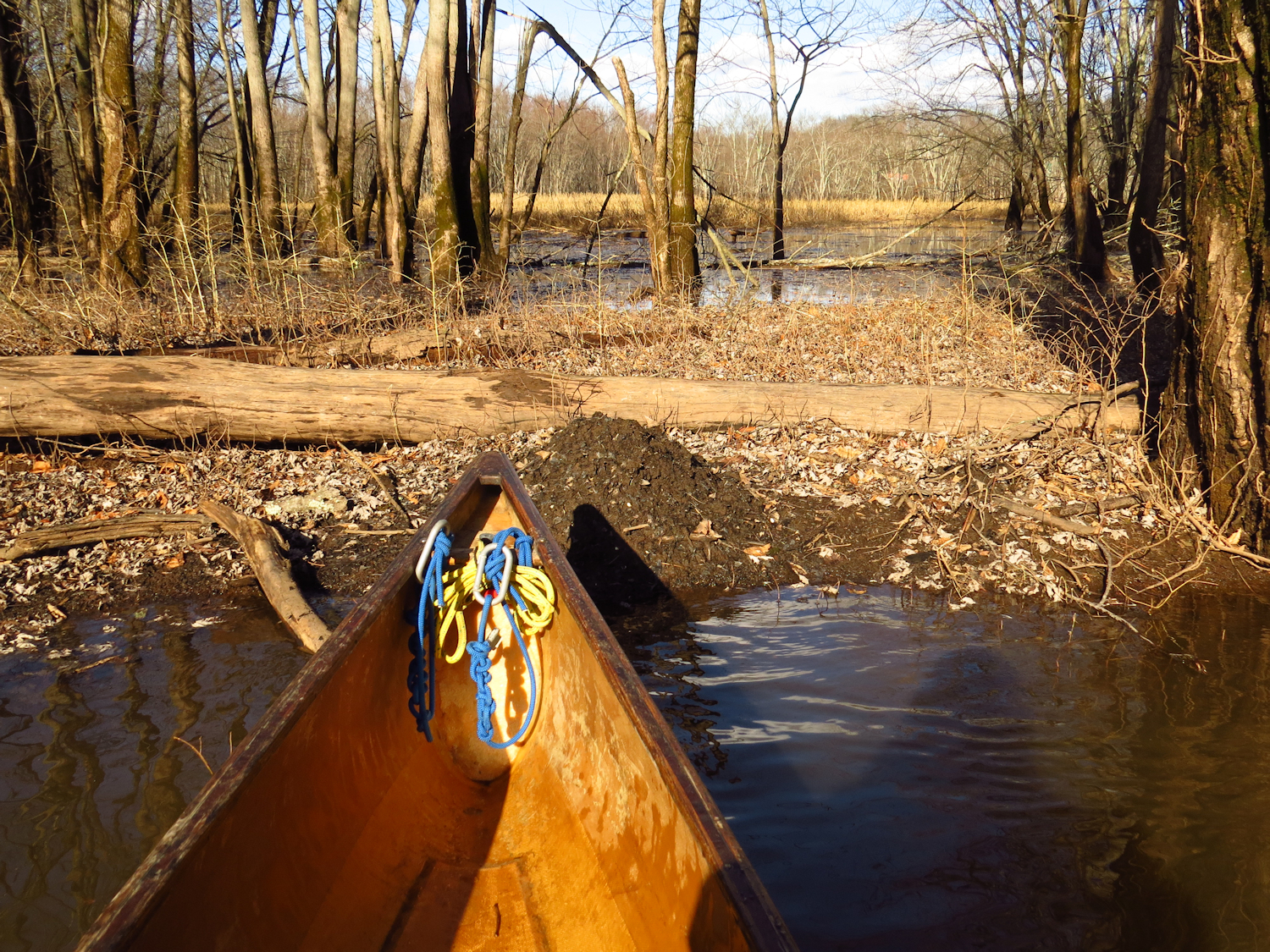
I'm not particularly motivated to cover any distance. In fact, I waited for the weather to settle, and was to restless to stay home, and would have gone hiking, but figured that if I was going to drive somewhere to hike, I might as well take my canoe. I'll head down to the top of the big marsh and check on the the beaver lodges in that stretch.

The first lodge is rather ramshackle, but it always has been a bit of a mess. It is a bank burrow and I imagine that the high water must be lapping at the bottom of the living space. The reason that I think it is still in use appears just a few yards on. I start spotting rather fresh scent mounds. Over the quarter mile between this lodge and the Point Lodge, there are at least a dozen scent mounds. I test one, but last nights rain has washed any scent away. Scent mounds are a territorial mark, beaver being quite territorial. Besides the mounds, there are quite a few fresh tree gnaws and cut-downs. The Point Lodge is in fine shape. There is cut brush sticking out of the water in front of the lodge. This is not winter food, but part of a brush tunnel that the colony built during the summer drought to protect the river bank entry tunnels. The final lodge is near where the Tepee Lodge once was. It is a bank burrow somewhat on its way to becoming a conical lodge and it has recent cuttings added to the exterior. I flush a dozen Hooded Mergansers from near this last lodge.

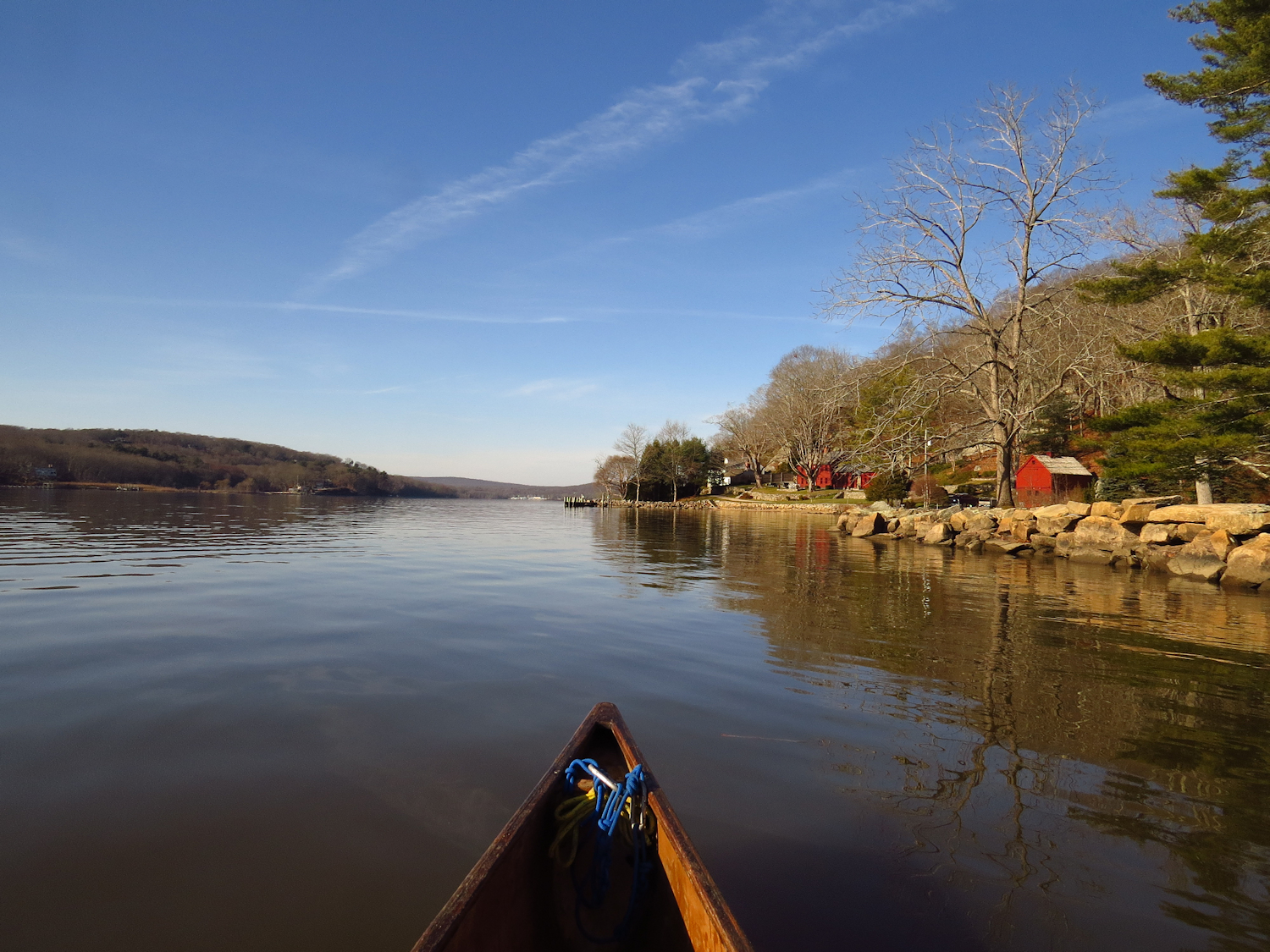
With the high water, I decide to head back and continue upstream past my start point. In the last 15 minutes, a few of the long sheets of ice that were against the shore have floated free and pivoted. I find three sheets spanning the river from bank to bank. Fortunately each is not much wider than a canoe length and I bust through with a little extra effort. It is one of the winter paddling considerations - be sure that floating ice won't block your exit.
Above the start point, the current is even stronger. It seems to be about a 2:1 current (twice as long to go up as to go down). It is a perfectly do-able current, but it does make the upstream paddle a minor grind. I get up to just below the old trestle, and it has taken noticeably longer than usual to get here. I turn and begin speeding back. While daydreaming, a big splash at the bank. I pull up and wait, and as I expect, a beaver surfaces near the far bank swimming upstream. As I continue, I notice just a few yards away, a fresh scent mound. There must be a bank burrow in the hillside somewhere near.


