Sunday, January 19, 2025

Loon Fest 2025

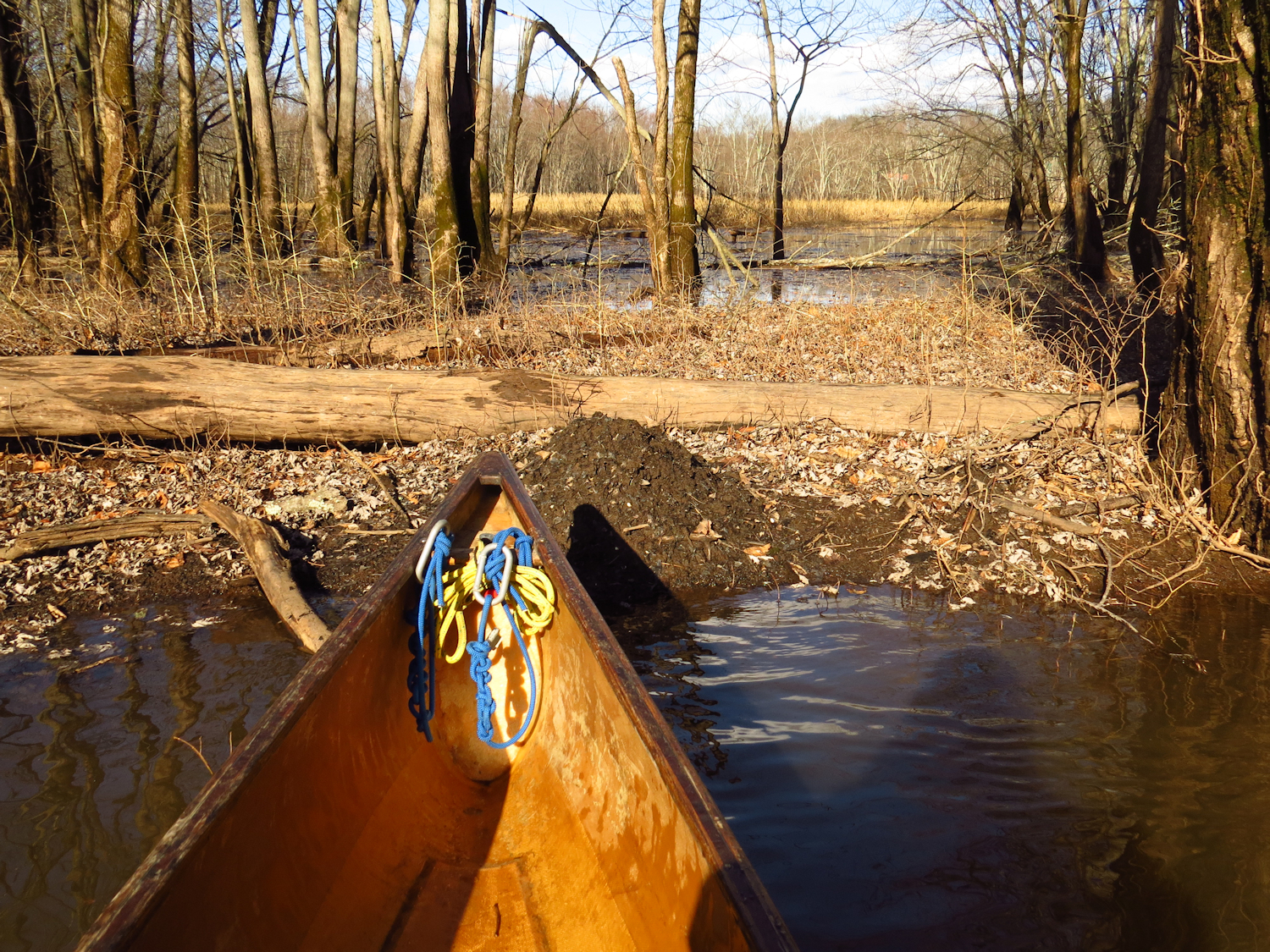
Today is a brief calm, few of which we have had this month. The beginning of the month was windy as hell with repeated days of 30mph gusts. During that time the temperature dropped enough to start freezing up the fresh water. By the time we had a calm day or two, the only open waters were near the salt water of the sound.

I put in about 2 hours after low tide under the high bridge and head downstream to the Wheeler Marsh. A couple guys are pulling out their small oyster boat prior to a cold snap that is due to arrive tomorrow. It should be cold enough to freeze the calmer spots in the river.


Just down from the draw bridge there is a large Loon in midstream. It still has most of its summer colors.  Common Loons winter in this area. Many people don't know this because the Loons are rather silent in winter and they lose mush of their fancy coloring.  In fact, there are 4 Loons in sight as the pair of what I assumed were Mergansers on the far side of the river are actually Loons.

I head in for a clockwise circuit of the marsh. Ahead, a large bird crosses the river. Backlit by hazy sunlight, it's not easy to identify. It could be a Great Blue Heron or a Bald Eagle, but it rises up and sets its wings for a glide... almost for sure an Eagle. Then, a large number of birds flush from the river as the big bird begins a wide slow circle. That is an Eagle for sure, and those birds know that it is an Eagle on the hunt, for one of them.

I round the marsh, which has just enough water for me to coast over the shallowest section on the east side. A hundred Canada Geese come in from the sea, overfly me, and scatter off to who knows where. I don't think I could ever get tired of hearing the honking of Geese as they fly past. I spot several Harriers. It is probably 4 to 6 different birds, but it is impossible to tell - since Harriers skim the marsh hunting for prey, I can't see them once they are away from the channel that I am in, and they often skim all of the way across the mile wide marsh.

I find 2 more Common Loons in Nell's Channel. I collect an old liquor bottle from the east side of the side entrance to Nell's - 15 inches deep and by the embossing, before 1968.

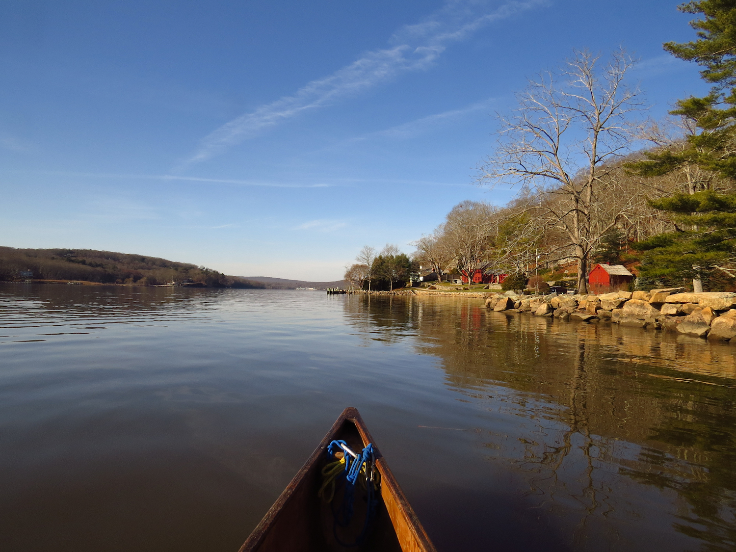
I return upriver, counting 6 Loons, and a flock of a dozen or so Buffleheads.

Monday, January 13, 2025

First Day of the Year

I put in at the old stage crossing on the East River. But as often happens in these parts, I talk with a couple of guys who are passing by on their walks out into the forest. They ask how far I am going, and I tell them, "down to the sound, it's not that far." This is not true, but I don't know it, yet.

It is overcast and quite gray. The tide is close to peaking and there is very little wind. Wind, in fact, is the reason that this is the first day of canoeing this year. Since New Years, We have had repeated days of wind with 30mph gusts. The temperatures have been wondering around freezing for most of that time, just cold enough to get ice forming on fresh water, particularly along the banks and in protected areas with little current. But, here at the put in there is very little ice, and I've crossed the brackish section of the river recently and there was no ice there.

A Red Tail Hawk flushes from a tree and crosses the river just as I get started.

There is some ice slabs floating in the river at the irst bend held in place by skim ice that formed during the night. There's quite a bit of ice over the Gravel Flats, but I get through by following a meander of skim ice and only have to push through thicker ice for a dozen feet. The solid ice is about a half inch thick and with a gentle push and some rocking, it's not too hard to open a channel. 

The next bend has some thicker ice to push through, but again, it isn't too bad. But, the bend near the saw mill dam is nearly solid for about 150 yards. I take a side trip though the flooded cattails, getting down half of that distance, but there isn't a let up.  I could get through this section, in maybe a half hour or so, but the real issue is that I need to make it back up to my start point, and as the tide drops, more ice is going to break loose and come downriver, and this section of ice looks like it is going to stay put for the day. That is one of the considerations when paddling in ice - making sure that you can get out/back to shore at the end of the trip. I figure that this section of the river is going to be a portage on the return, and I don't want to do that.

I turn around and head back.  With the high tide, I can get up into the twisty upper section of the river, which braids into two or three narrow and brushy channels.  I find some wintering over Wood Ducks in there, and make it up the bridge above the put-in, and then head back down to the saw mill dam bend, deciding to do a couple laps of this section of river instead of just packing it up. 

On my third lap, I stop in the Gravel Flats.  The Flats are mostly clear of ice at this time, but all of that loose ice is jammed up in the narrows below the Flats... science, duh. 


Monday, December 30, 2024

Last Trip of the Year

The river is higher than expected. After a full night of rain, I checked the river gauge height and it looked about normal. The trick is that the gauge I use as a reference is actually upstream a few miles on the Connecticut River, and that big river usually determines the behavior of the mush smaller Mattabesset. From the look of things, a fair amount of rain must be draining into the Mattabesset. As said, the water is high, but it is also murky with silt - it is normally clear in winter, and there is a moderately strong current.

I put in and head downstream. It is 55F, and partly sunny, with light wind. There is still some ice in the backwaters and attached to the river bank. Some of it is about a 1/2 inch thick, and although it is rotting fast, that thick stuff is too tough to push through, unless you have to.


I'm not particularly motivated to cover any distance. In fact, I waited for the weather to settle, and was to restless to stay home, and would have gone hiking, but figured that if I was going to drive somewhere to hike, I might as well take my canoe. I'll head down to the top of the big marsh and check on the the beaver lodges in that stretch.


The first lodge is rather ramshackle, but it always has been a bit of a mess. It is a bank burrow and I imagine that the high water must be lapping at the bottom of the living space. The reason that I think it is still in use appears just a few yards on.  I start spotting rather fresh scent mounds. Over the quarter mile between this lodge and the Point Lodge, there are at least a dozen scent mounds.  I test one, but last nights rain has washed any scent away. Scent mounds are a territorial mark, beaver being quite territorial. Besides the mounds, there are quite a few fresh tree gnaws and cut-downs. The Point Lodge is in fine shape. There is cut brush sticking out of the water in front of the lodge. This is not winter food, but part of a brush tunnel that the colony built during the summer drought to protect the river bank entry tunnels. The final lodge is near where the Tepee Lodge once was. It is a bank burrow somewhat on its way to becoming a conical lodge and it has recent cuttings added to the exterior. I flush a dozen Hooded Mergansers from near this last lodge.


With the high water, I decide to head back and continue upstream past my start point. In the last 15 minutes, a few of the long sheets of ice that were against the shore have floated free and pivoted. I find three sheets spanning the river from bank to bank. Fortunately each is not much wider than a canoe length and I bust through with a little extra effort. It is one of the winter paddling considerations - be sure that floating ice won't block your exit.

Above the start point, the current is even stronger. It seems to be about a 2:1 current (twice as long to go up as to go down). It is a perfectly do-able current, but it does make the upstream paddle a minor grind. I get up to just below the old trestle, and it has taken noticeably longer than usual to get here. I turn and begin speeding back.  While daydreaming, a big splash at the bank. I pull up and wait, and as I expect, a beaver surfaces near the far bank swimming upstream. As I continue, I notice just a few yards away, a fresh scent mound. There must be a bank burrow in the hillside somewhere near.

Sunday, December 29, 2024

Maps

 I wait for the morning drizzle to subside before heading over to the Wheeler Marsh for a short trip. By the time I put in, the tide is near maximum ebb current. This makes for a pretty speedy trip downriver to the marsh, but it also means that I will have little time to poke around when I am there.  It is in the upper 40's, with no wind, and an overcast sky. While there is some low surface fog at the put-in, this disappears within a couple hundred yards.

As I reach the top of the marsh, a pair of Harriers lift off from the spartina. One briefly flies towards me, but then wheels around and heads out low over the marsh.

A lot of my recent thinking about the marsh pertains to maps. I have been collecting old bottles from the banks as they become exposed in order to come up with an estimate for the rate of soil accumulation in the marsh (currently, 1 foot takes about 50 years). My samples come mostly from the area near Nell's Island and in the channel at the very top of the marsh. A large part of the remainder of the marsh is more of a mud flat where there are almost no cut banks to extract a bottle from.  

Information about the marsh tends to be anecdotal prior to 1900. So far, I've read that there was a shoal running across the main channel from Nell's Island to Stratford with a depth of about 3 feet. This was (also anecdotally), blown/dredged out sometime around 1850. Supposedly, the marsh was more of a bay prior to the dredging with the river passing around either side of Nell's Island. I have located a couple maps from the 1830's and 1840's. One of them clearly shows Nell's Island and neither of them shows any marsh. However, one has to think about who made the map and what was the map's purpose. Prior to about 1940 or so, marshland was viewed as wasteland. If one couldn't build on it, farm on it, mine it, or flood it, it was useless. 

So, an 1840 map drawn for the purpose of land use is an unreliable scientific document, except that we can assume that Nell's Island had a bit more height to it than the rest of the marsh, which is still true. One possibility of this open bay idea is that the person who wrote about the 19th century marsh was looking at one of those old maps. The first detailed scientific based maps of the marsh are USGS topographic maps from about 1900, and they show the marsh, more or less, as it currently is.  Well, it seems there is an art project here for me to work on.

1926 map of the marsh
I head down Nell's Channel, and as I near Milford Point, about 75 Canada Geese fly by to the east of me. With the tide dropping, I have to keep moving so as not to get stuck in the mud flat.  Coming across the bottom of the marsh, I eventually total about 300 Canada Geese, most of which were floating up near Milford Point. There is a good current to work against all the way around to Cat Island. The marsh is really draining fast.

I find the two Harriers once again as I leave the top of the marsh on my way back upriver.

Harrier - the white butt patch is a good ID marking

Friday, December 27, 2024

Local Water

I put in under the high bridge.  There are quite a few cars in the lot - no doubt fishermen or hunters. It is sunny and just under 30F. The tide is falling and I cross the river, eddy hopping the bridge abutments in a 3mph current. 

I flush a Great Blue Heron, a Harrier, and several Mallards as I approach the far bank. Then I head upriver through the four islands, taking the narrow channel between Carting and Peacock islands. The islands are a no hunting zone and it shows. I flush more than 50 ducks - Blacks or Mallards, as I go.  It's far more than I would see in the larger Wheeler Marsh after one or two shotgun blasts.  The birds I flush circle upriver and head off to the side to more secluded ponds and marsh areas. 

Leaving the islands, I follow the west shore noting the sedimentary bedrock that has been tipped a full 90 degrees. In mid-river even with the where Peck's Mill was, there is a flock of twenty Buffleheads.  I often spot a few Buffleheads in this open section of the river.  It's just open water, so other than having long sight lines, I have no idea why they would prefer this spot.

I paddle up to the bottom of the Dragonfly factory, cross the river, and return riding the end of the ebb current.

Thursday, December 26, 2024

Canoe Boxing Day

It is sunny and calm with a temperature that will rise from 25F to about 35F during the day. 

I put in on the Lieutenant River, a small last minute tributary to the Connecticut River. I turn upriver, pass under a two-lane bridge and take a deep breath.  I have been stuck inside with bad cold for the last week and I am looking forward to being outside for something other than a short walk about town. Turning the first bend, I spot twenty Hooded Mergansers. I usually spot these birds in three's - a male with two females. I add a Great Blue Heron, a flock of Common Mergansers that pass overhead, and some Black Ducks and Mallards.  There is a shelf of ice attached to the bank. It is pretty firm stuff, about a 1/2 inch thick at most. 

Some of it is dusted with snow from the other night. Out in front of the Florence Griswald Museum, the ice spans the river, but there is a lane of airy weak ice that probably formed last night. It is obvious, being dark in color, and the canoe cuts through it easily.  I get about another 200 yards, not reaching the Boulder Swamp, where the river is frozen over, most of it dusted with snow. 

I head back down, passing my start point and continuing into the back channels of the Connecticut. I flush a few small groups of Black/Mallards every so often, and another Great Blue Heron. I continue down to the Back River, which is actually just a channel that connects the main river with the smaller back channels. 

I don't usually paddle the Back, because it is just a wide straight channel and rarely has any interesting wildlife. But, it makes for a different return route, and the main river won't be the wake bounce fest that it is during summer when the motorboat drivers are out.  As it happens, I spot a raccoon working the shoreline, and then a small duck the dives with little disturbance. It reminds me of a Pied Billed Grebe, and I finally get a decent photo to ID the bird.  It is a female Ruddy Duck. Some of the unidentified ducks I spotted earlier might have been Ruddys. I don't see them that often.

Female Ruddy Duck

I head back up the big river, dodging sheets of fresh water ice that have been coming downriver. A lot of it is pretty well formed - clear and hard and a 1/2 inch or more thick, and anything bigger than the top of a coffee table is best avoided. 

One more Great Blue Heron as I near my start point.

Wednesday, December 18, 2024

Season of the Spirit Birds

It is calm and the water is near glassy smooth with a blue sky overhead, the sun burning through a barely visible haze of high up ice crystals.

The yachtsmen have parked their party barges for the long winter sleep, and the river has returned to something that was originally intended. Nothing would be more gauche for the  CEO, COO, CFO or some other C than to entertain their network on a boat when you needed to wear a jacket. It would brand that yachtperson as, "not one of team" to put the network through such horrors.

I put in where Ely's Ferry once was. About two miles up is where the Brockway Ferry once was, and about two miles down is where the Old Saybrook - Lye Ferry once was.  About two miles above Brockway is where the Chester - Haddam Ferry still is, and about two miles above that is the spectacular antique Haddam swing bridge.

The old Brockway Ferry Landing

I paddle up the east shore. There is an Eagle perched in the top of a tree on Brockway Island, but it is too far off to see if it is mature or juvenile. In the quiet, I hear Canada Geese. They are difficult to see being on the far side of the river. Sounds of all sort are traveling unimpeded in the calm.

Winter is the season of spirit birds. They are more visible with the leaves down and with the strong contrast caused by the low sun. A quarter mile ahead is a Great Blue Heron, or a Pileated Woodpecker, or a Hawk, perched in a tree. I paddle closer, glancing up to not loose it among the other trees. And then it is gone, not by wing, but just gone, transformed into a bent shaggy branch. 

The Selden Channel

I paddle up the Selden Channel. With the marsh plants still standing, it is quite beautiful. I spot a Sharpshin Hawk. Then, I see an Eastern Bluebird, which was very much unexpected. It is such a contrast to the earth tones of a winter marsh, but then I realize that in nature, bright blue and bright red and orange and pinks and most any color one can think of, are earth tones.
Sharpshin Hawk

I round the island and although the river side is less scenic, at least it is a different "scenic".  The Haddam Ferry is still at its landing although I don't know if it is still in operation. I pass four Swans. A minute later, I here the flapping of eight swan feet on the water's surface. Unexpectedly, they pass me and continue down river. I watch them until they disappear around a bend.  It will take me more than 20 minutes of paddling to get that far.

Otter

Just above the entrance to Hamburg Cove, I spot a swimmer some 50 or 60 yards ahead. By movement, it's definitely not a beaver, and in a second or two, I rule out a muskrat. Its curiosity brings it closer - its an otter. It gives me the once over, eyeballing me from behind a boulder in the river, then diving and coming up behind me. Then, both of us satisfied, we go our separate ways.