I turn the first bend and the word, pastoral, comes to mind. If a river could be pastoral, this would be it. But it's not the right word, almost, but not. I haven't been here in awhile. I pull my camera out, and see that I haven't cleaned the lens in awhile.
It is a beautiful day with a 50/50 cloudy sky, temperatures in the upper 60's, and just enough wind to shake acorns from the overhanging trees. Plop, plop, plop, one every few seconds landing in the river.
Coming into the Gravel Flats the bow of my canoe patters. There is a leaf wrapped around the stem upsetting the usual clean slicing of the canoe through the water. I don't feel like backing up to clear it, so I watch ahead for the first floating stick or reed. When I run the reed over, the canoe moves silently once more.


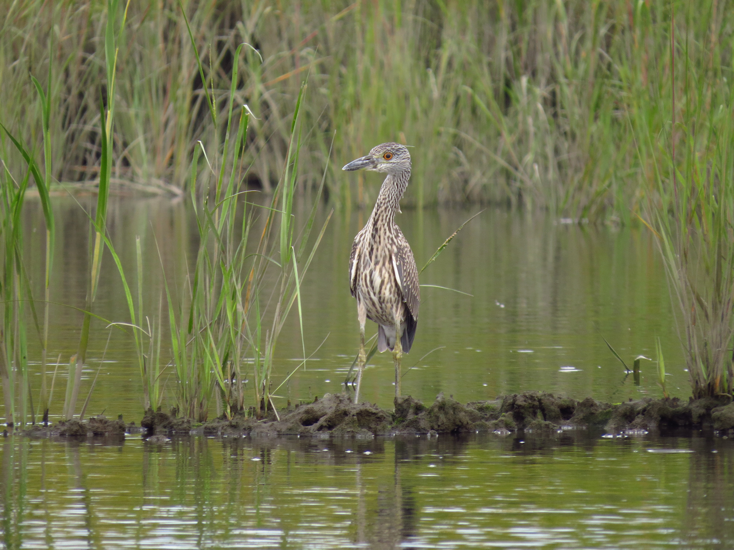
I see my first Osprey as I come out from under the railroad bridge. There mostly gone south now, but there's always a few that stay late. I head off of the main river using the side sneak into Bailey Creek. There are three more Osprey perched on the little island that the side sneak sneaks around. This is a good spot to find Black Ducks, and I flush a dozen. I see the Blacks as a pretty shy Duck, flushing fro a good distance, and often before they can see me. This spot is a good hide for them as few people know they can get back here, and it is too close to houses, so it's off limits to Duck hunters.

I head down Bailey Creek to its confluence with the East River, passing a small outboard inflatable that is heading into Bailey. They catch up with me when I am about a half mile up the East, and while I do appreciate their sticking to the 6 mph speed limit, it does take a month of Sundays for them to pass me. Tired of that, I take a side channel into the Sneak. ' nuf with that noise.

I take a brief side trip up to the Pomeroy Dam remains. I've learned a lot more about early dams and mills since I first found the ruins. The dam ran a sawmill during the Civil War period.

It does not have a mill race, like most mills/dams in the area. The water exited through a stone channel at the bottom of the dam. I once thought that they must have had an undershot wheel, which is a very inefficient power wheel, but since learned that turbines, which are very efficient, were common at the time. Still, I am impressed by the tiny trickle of a brook that they backed up to run the mill.